
Why US Cities Feel Disorienting at First — and How to Flip That
American cities weren't all built to a single plan. Some — like Philadelphia, Salt Lake City, or Portland — follow strict grids that make self-navigation almost intuitive. Others — like Boston, with its colonial-era cow-path origins, or Pittsburgh, shaped by three converging rivers — can leave even experienced travelers turned around after two blocks.
The good news: disorientation is almost always a preparation gap, not a navigation talent gap. The travelers who move confidently through unfamiliar cities aren't carrying better instincts — they've done 20 minutes of homework that everyone else skipped. If you're new to city travel altogether, our complete introduction to travel planning covers the foundation you'll want before diving into city-specific logistics.
US cities also vary more than many people expect in how they feel on the ground — walkability, transit quality, neighborhood density, and cultural character all differ sharply between, say, Austin and Baltimore. Lesser-known cities like Savannah, Taos, and Duluth often have more navigable, walkable cores than large metros — worth keeping in mind as you plan.
What you will need
Tools, Steps, and Strategies for Confident City Navigation
The right tools make a measurable difference, and fortunately none of them are expensive or complicated. Here's what to have on hand before you step outside.
Offline mapping app (e.g., Google Maps or Apple Maps offline downloads)
Provides turn-by-turn navigation without requiring a live data connection.
City transit authority app or website
Gives real-time arrivals, route maps, and fare information specific to that city's transit system.
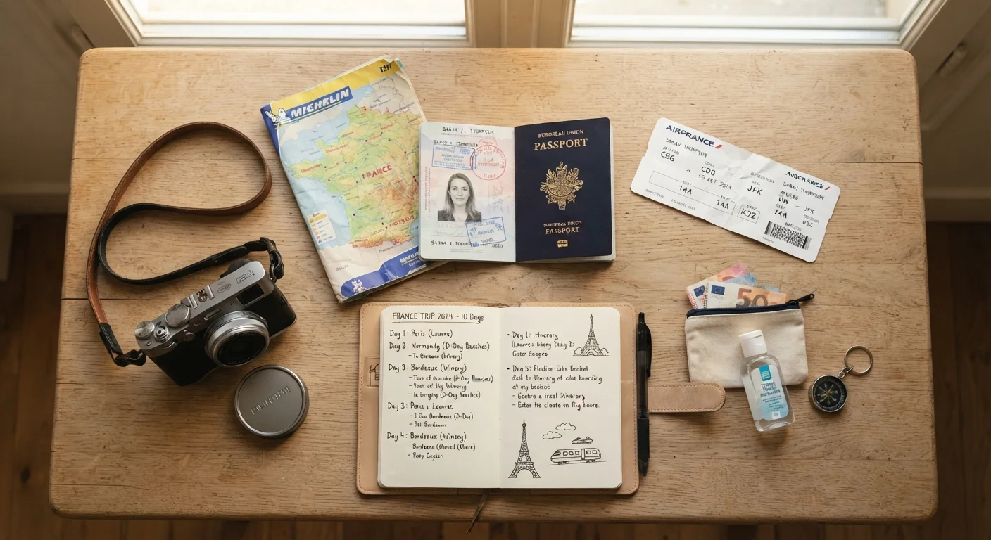
Paper city map or transit schematic
Serves as a reliable backup when battery or connectivity fails.
Portable phone charger (power bank)
Keeps your navigation tools functional throughout a full day of exploring.
Learn the city's organizing logic before you land
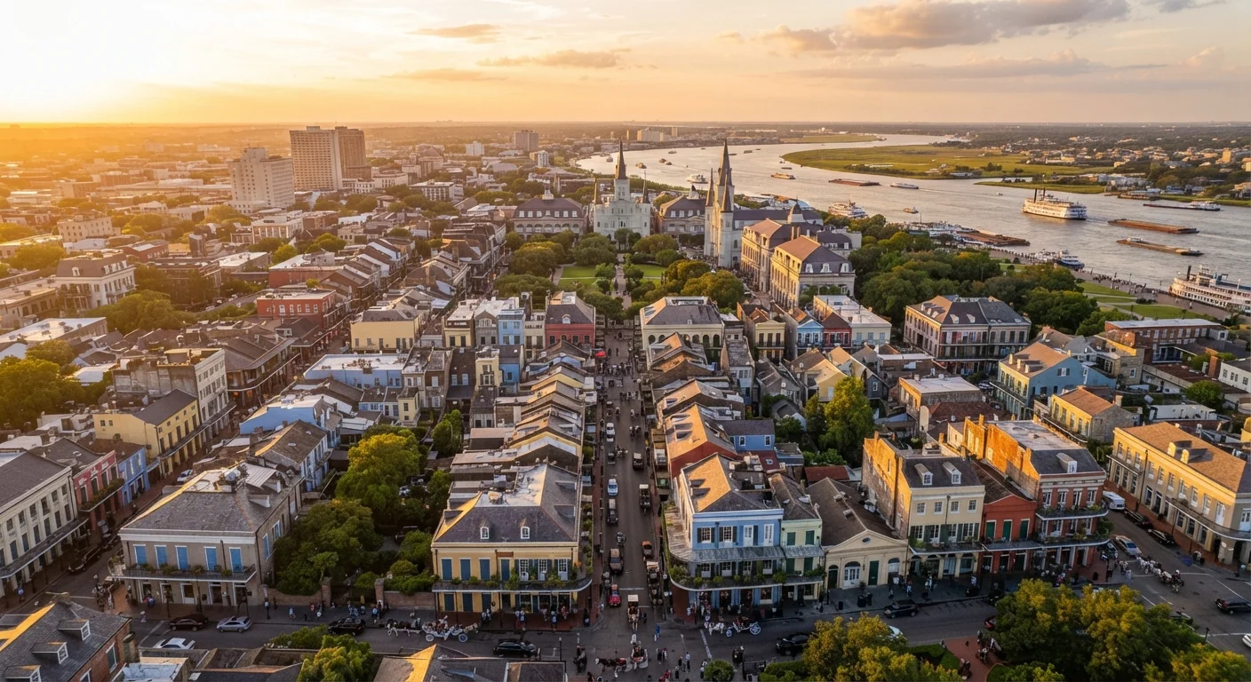
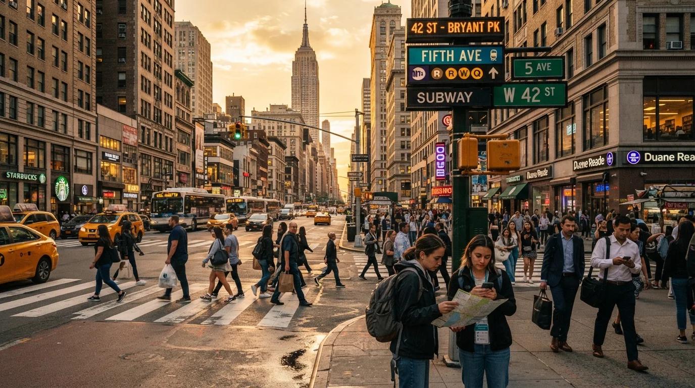
Every American city has a skeleton — a logic that makes the layout click once you see it. Manhattan uses a numbered grid. Chicago radiates outward from the Loop. New Orleans wraps around a river bend, with streets curving to follow it. Seattle and San Francisco are defined by their hills and water edges.
Before your trip, spend 10 minutes with a map just identifying: Where is downtown? What's the major geographic feature (river, bay, mountain)? Which direction do the main streets run? That mental frame turns a foreign skyline into a readable map the moment you step outside.
Download offline maps and transit info the night before
Open your mapping app and download the city's offline region while you're on Wi-Fi at your accommodation. Also locate the official transit authority app for that city — most major US cities operate their own, with real-time arrivals and interactive route maps that third-party apps sometimes lag on.
Note the transit authority's fare structure: many cities now use contactless payment or regional transit cards rather than cash. Knowing this in advance saves you from being stuck at a fare gate.
Orient yourself physically when you first arrive
Before pulling out your phone, pause and look around. Find a street sign and read both names at the intersection. Identify a landmark — a tall building, a water tower, a distinctive bridge — that you can use as a north star throughout the day. Note which direction the sun is sitting; in the Northern Hemisphere, midday sun is roughly south.
This 60-second grounding habit dramatically reduces the disorientation that sends new visitors spinning in circles on a busy sidewalk.
Understand the transit modes available and when to use each
US cities vary enormously in their public transit quality. Cities like New York, Chicago, Washington D.C., Boston, and San Francisco have robust subway or light rail systems that are often faster than driving. Others, like Los Angeles or Phoenix, have expanding rail but still lean heavily on buses and ride-share for coverage.
As a rule of thumb: use rail or subway for longer cross-city distances, buses for medium neighborhood hops, walking for anything under about half a mile, and ride-share for late nights or areas with limited transit coverage. Mixing modes is normal and efficient.
Identify your neighborhood anchors and safety context
Every city has neighborhoods that vary significantly in character within just a few blocks. Before wandering, check the city's official visitor resources and look up any guidance on areas to be aware of at different times of day. This isn't about fear — it's the same awareness any local uses automatically.
Pinpoint a few anchor spots near your accommodation: the nearest transit stop, a 24-hour pharmacy, and a sit-down spot where you can regroup if plans change. See how this approach works in practice for a city like New Orleans, where neighborhood transitions happen fast.
Build in buffer time and embrace productive getting-lost
Navigation mistakes are inevitable and often delightful. Budget 15–20 extra minutes into any transit trip when you're new to a city — missing a stop or boarding the wrong direction is a rite of passage, not a disaster. Keep your accommodation address saved offline so you can always find your way back.
If you want to explore beyond the major city, know that the logic changes dramatically. National parks and wilderness areas operate on entirely different navigation principles than urban grids.
Ask a Transit Worker, Not a Stranger
Station agents and bus drivers know their routes intimately and are usually happy to help with a quick directional question. They're your most reliable human resource when an app gives you a confusing answer.
Verify Transit and Safety Info Officially
Transit schedules, route changes, and neighborhood safety conditions shift frequently. Always cross-check with the city's official transit authority website or app before relying on any single source. For current safety advisories, consult official city and government resources rather than informal reviews alone.
One often-overlooked resource: the cultural norms of the city itself. American urban friendliness is real, but it has context. Understanding what American friendliness actually signals can help you interpret interactions with locals more accurately when you're asking for directions or reading a situation.
And if your US city trip is part of a broader travel plan that includes dining out, our dining-out resources can help you navigate the food landscape of any American city with the same confidence you'll bring to its streets.
Don't Rely Solely on Phone Data
Dense urban canyons, subway tunnels, and crowded events can all kill your cell signal at the worst moment. Download offline maps before leaving your accommodation each day — it takes under two minutes and can save serious stress.